
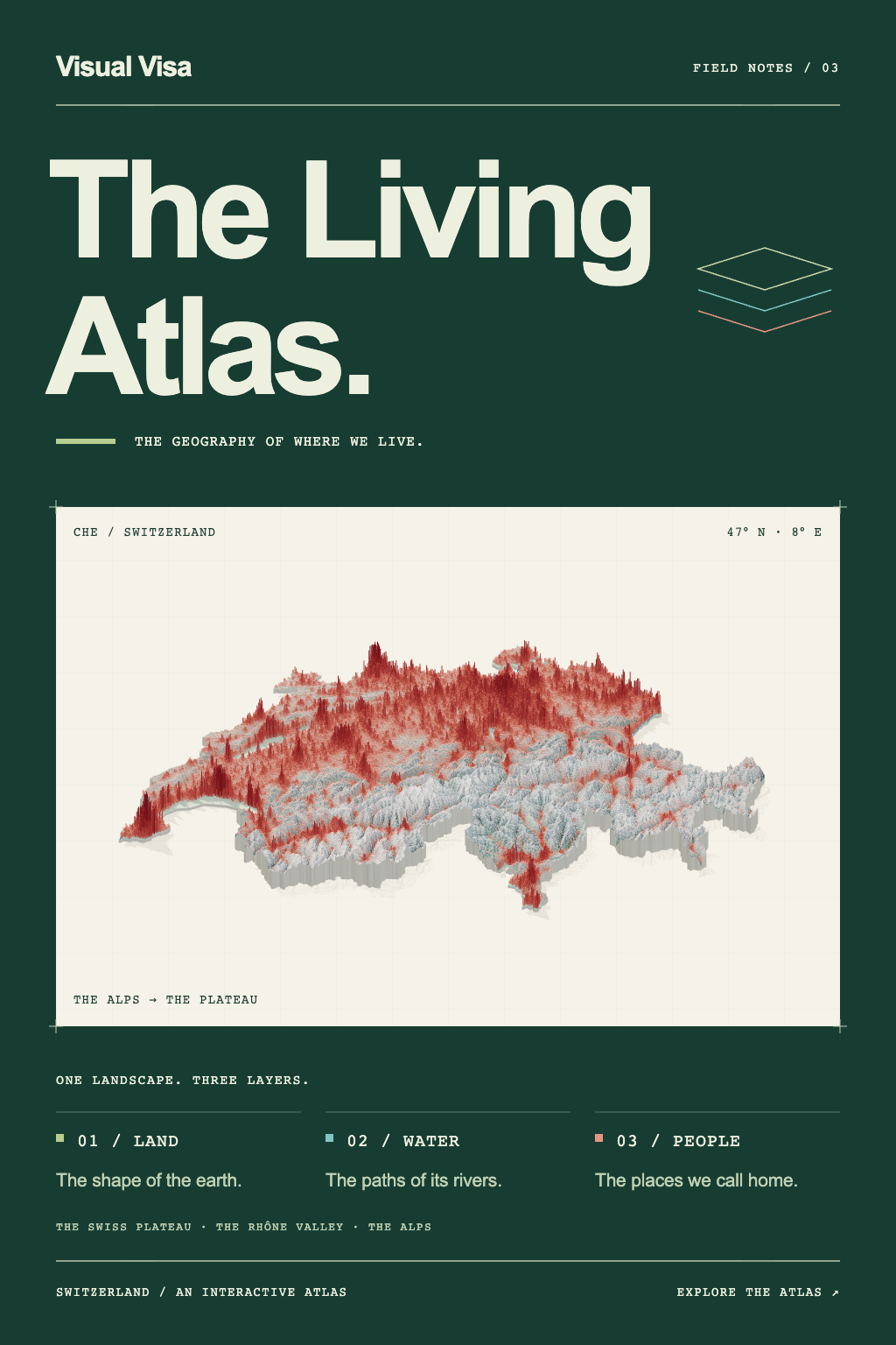
The Living Atlas
Explore 36 countries through interactive 3D maps of terrain, waterways, and population. Discover mountain valleys, river plains, and the places we call home.
Nathan Hussey
October 6, 2026
Understanding the world through data
Explore 36 countries through interactive 3D maps of terrain, waterways, and population. Discover mountain valleys, river plains, and the places we call home.
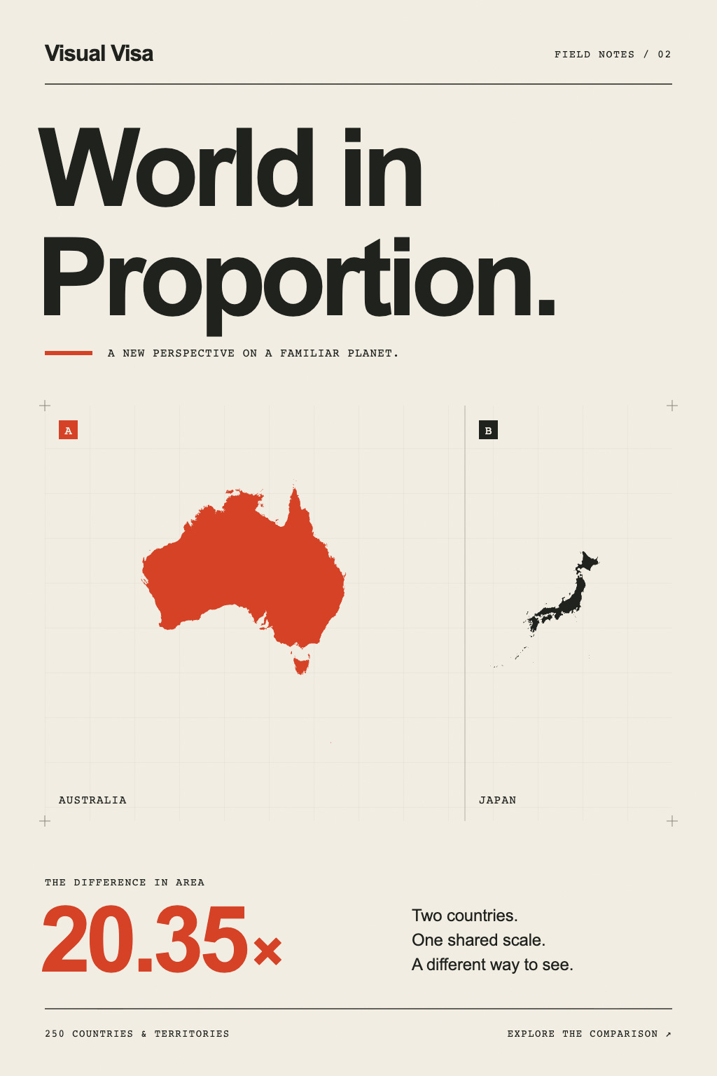
How big are countries, really? Compare 250 countries and territories side by side at the same scale, and see a familiar world in a completely different way.
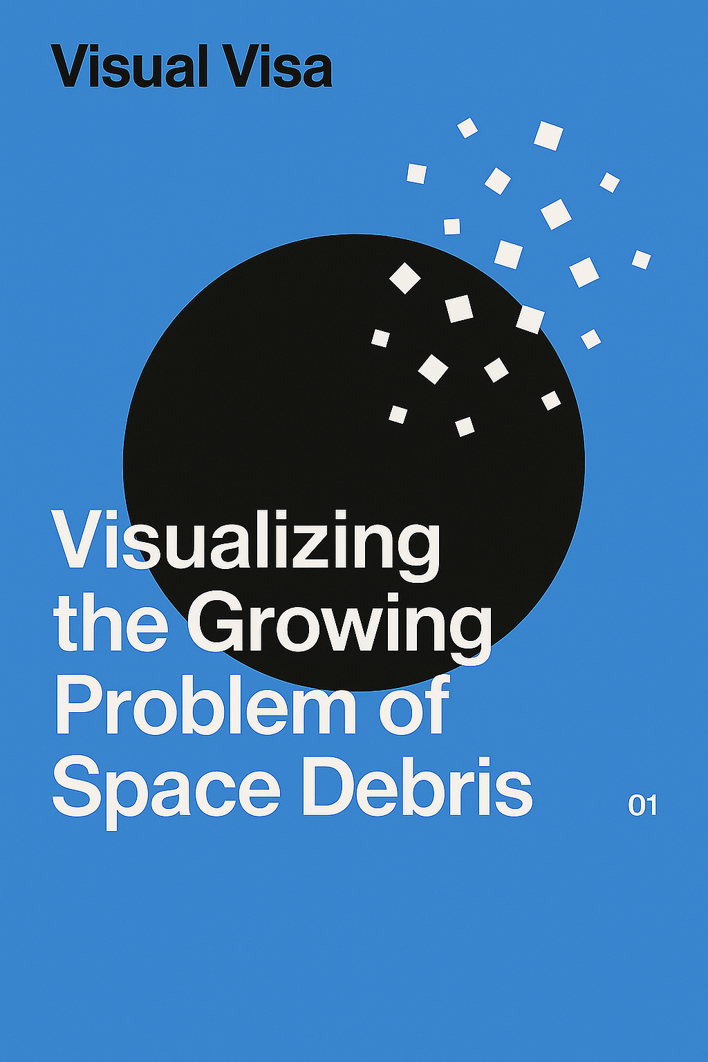
An interactive 3D exploration of the millions of objects orbiting Earth, from defunct satellites to tiny fragments, based on the latest ESA data.